
Showing posts with label pictures. Show all posts
Showing posts with label pictures. Show all posts
Tuesday, October 30, 2007
Wednesday, October 17, 2007
Friday, October 12, 2007

Wednesday, October 10, 2007
12!
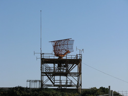
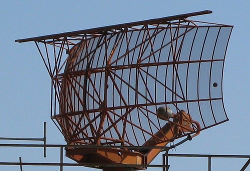
I've got a new camera
Canon PowerShot G9

Links:
http://www.canon.co.uk/For_Home/Product_Finder/Cameras/Digital_Camera/PowerShot/PowerShot_G9/index.asp
http://tech.groups.yahoo.com/group/canon-g9/
Saturday, April 21, 2007
Sunday, December 10, 2006
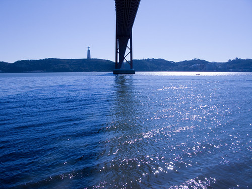
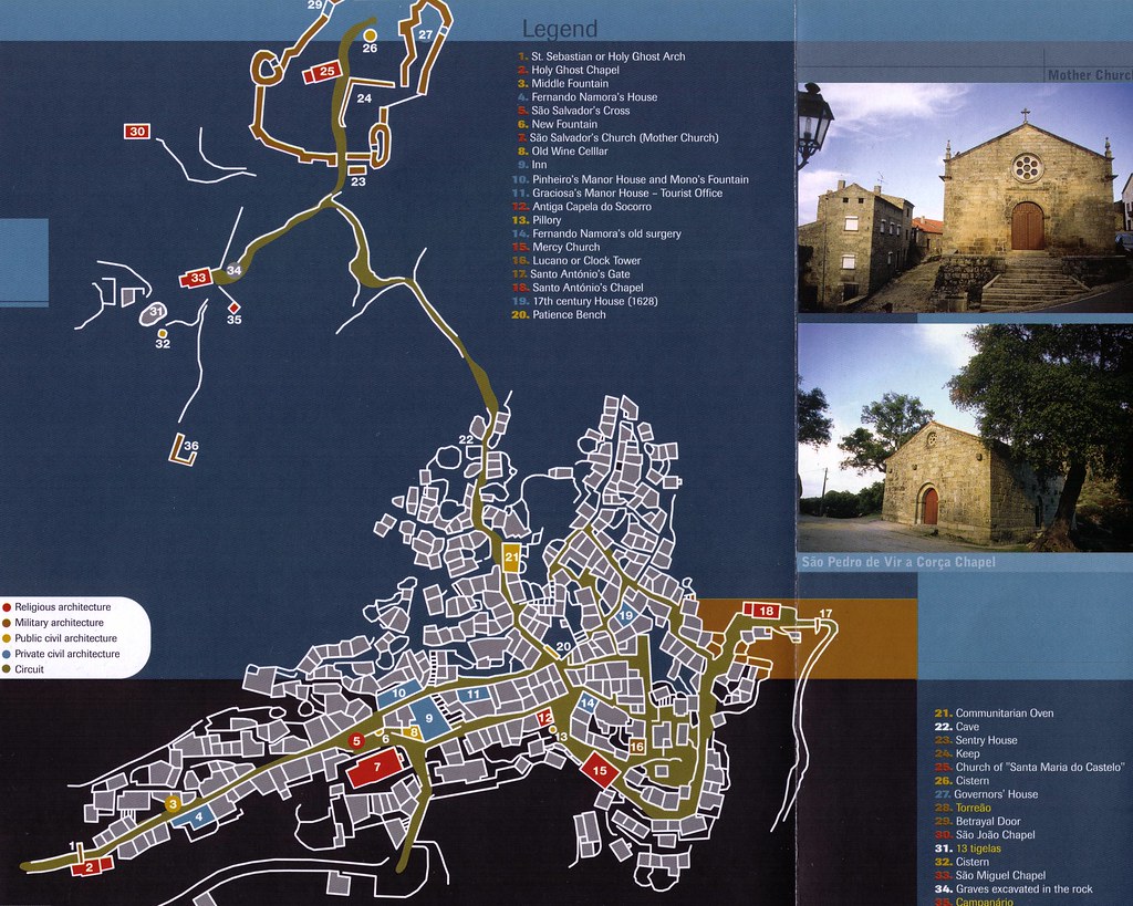
Monsanto

(high resolution version)
Although in a governmental publication about one of the most publicised tourist destination, the map does does not have a "compass rose", not even a "north symbol". And no scale too.
So it is very difficult to compare it with other map(s).
Saturday, December 09, 2006
Postcard from Tomar
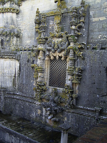
Manueline Window of the Chapter House of the nave of the Convent church
Links:
http://en.wikipedia.org/wiki/Convent_of_the_Order_of_Christ
http://whc.unesco.org/en/list/265
Monday, December 04, 2006
31+ years ago
I have lived in this house, for a month, back in August 1975 (Agosto de 1975, 1975 hot summer)
I have never return, until yesterday. Driving in the nearby E802/A23/IP2 highway I decided to take a 12 kms detour and take this picture.
All the place was changed, as you might as well guess, but I managed to find the spot.
BUT from the picture we can see that the house has been VERY closed to be consumed by fire very recently. We can see burned trees as far as 10 meters.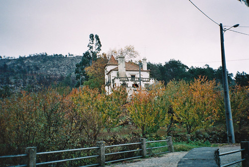
Satellite photo of the house:
http://maps.google.com/maps?f=q&hl=en&q=40.05653,-7.53219&ie=UTF8&z=18&ll=40.056001,-7.53381&spn=0.002037,0.006748&t=k&om=1
P type geographic features
populated place
a city, town, village, or other agglomeration of buildings where people live and work
Louriçal do Campo (1.4Km)
Torre (1.4Km)
São Fiel (3.4Km)
São Vicente da Beira (3.4Km)
Casal da Fraga (3.4Km)
Paradanta (4.6Km)
Soalheira (4.6Km)
Pereiros (4.6Km)
Castelo Novo (4.7Km)
Vale de Urso (5.6Km)
Barroca do Mercado (6.2Km)
Sobral do Campo (6.2Km)
Partida (7.1Km)
Vale de Figueiras (7.3Km)
Souto da Casa (7.6Km)
Alpedrinha (8Km)
Enxabarda (8Km)
Mourelo (8Km)
Alcangosta (8.6Km)
Catraia e Candais (8.6Km)
H type geographic features
stream
a body of running water moving to a lower level in a channel on land
Ribeira de São Vicente (3.4Km)
Ribeiro da Partida (6.8Km)
Ribeira das Enguias (7.1Km)
Ribeira da Enxabarda (8.6Km)
Ribeiro da Borralheira (8.6Km)
Ribeiro do Mioso (8.6Km)
T type geographic features
mountain
an elevation standing high above the surrounding area with small summit area, steep slopes and local relief of 300m or more
Alto da Praça (5.7Km)
mountains
a mountain range or a group of mountains or high ridges
Serra da Guardunha (4Km)
A type geographic features
first-order administrative division
a primary administrative division of a country, such as a state in the United States
Distrito de Castelo Branco (6.2Km)
second-order administrative division
a subdivision of a first-order administrative division
Concelho do Fundão (9.7Km)
S type geographic features
abandoned railroad station
Castelo Novo (6Km)
Subscribe to:
Posts (Atom)